|
|
||
|---|---|---|
| README.md | ||
| Tupfile | ||
| forest-view-site_report.txt | ||
| forest-view.kml | ||
| forest-view.png | ||
| forest-view.qth | ||
| forest-view.scf | ||
| splat.lrp | ||
README.md
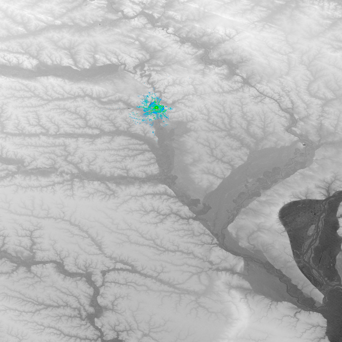
Mesh line-of-sight estimations
This repository contains data for rough line-of-sight analysis of radio sites.
To analyze a site, create a '*.qth' file and run the tup utility in the repo.
The current analysis parameters are very rough guesses and over-estimates, please consult the documentation of SPLAT! before tweaking them.
Dependecies
TODO
Example